चित्र:Blank Districts of Pakistan.svg

Size of this PNG preview of this SVG file: ८०० × ५८२ पिक्सल. अरु संकल्पहरू: ३२० × २३३ पिक्सल • ६४० × ४६५ पिक्सल • १,०२४ × ७४५ पिक्सल • १,२८० × ९३१ पिक्सल • २,५६० × १,८६२ पिक्सल।
मूल फाइल (SVG फाइल,साधारण ८२५ × ६०० पिक्सेलहरु, फाइल आकार: १.३६ मेगाबाइटहरू)
| यो विकिमीडिया कमन्सको चित्र हो। त्यहाँ यसको विवरण पृष्ठबाट जानकारी तल देखाइएको छ। कमन्स स्वतन्त्र रूपमा इजाजतपत्र प्राप्त चित्र भण्डार हो। तपाईंले मद्दत गर्न सक्नुहुन्छ। |
सारांश
| वर्णन |
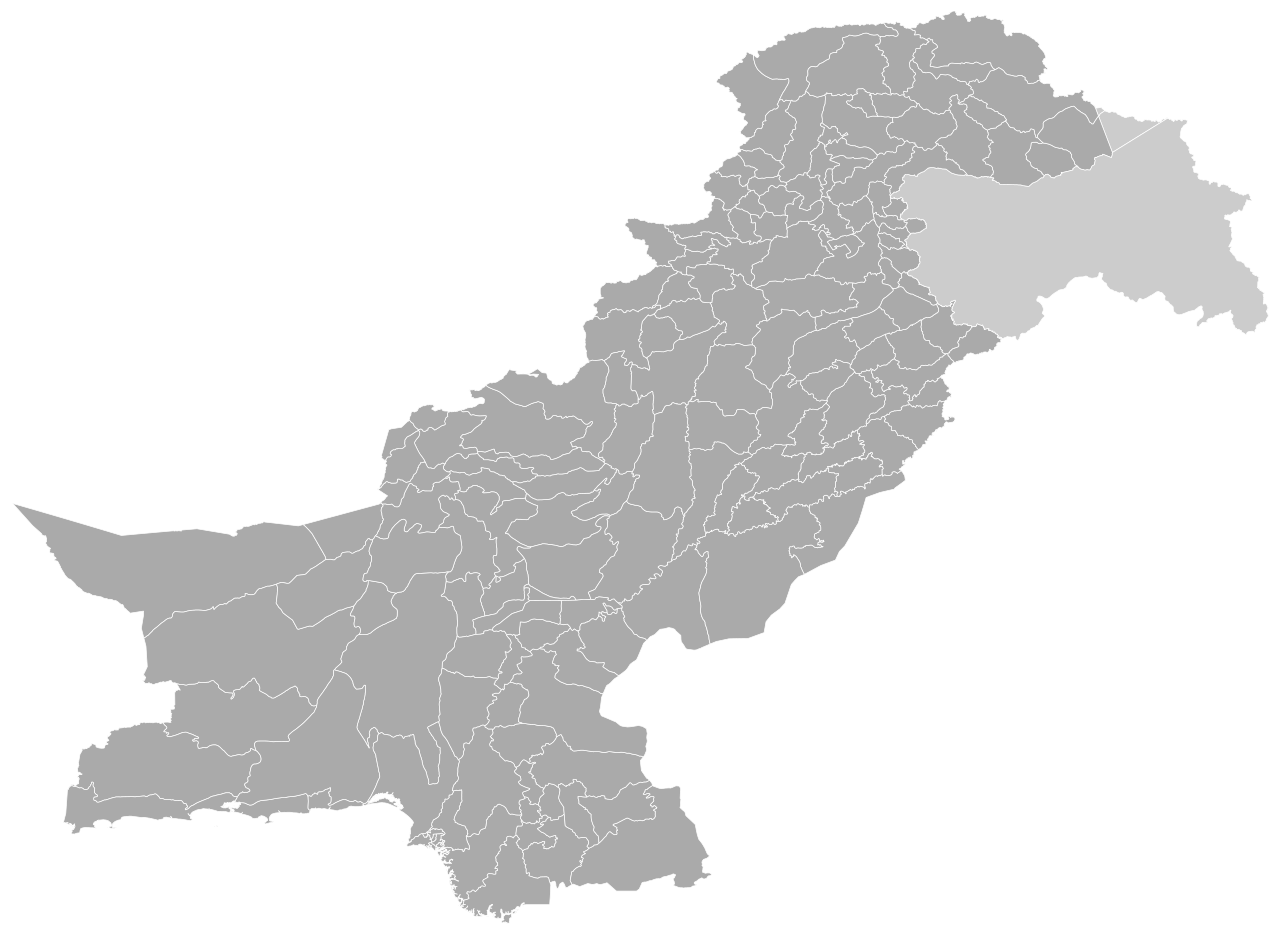
English: This is a blank SVG map of Pakistan's districts, which total 160 in number (including Islamabad Capital Territory).
|
| मिति | |
| स्रोत | मेरो आफ्नै कार्य |
| लेखक | Abbasi786786 |
अनुज्ञा प्राप्त गर्दै
I, the copyright holder of this work, hereby publish it under the following license:
This file is licensed under the Creative Commons Attribution-Share Alike 4.0 International license.
- तपाईं स्वतन्त्र हुनुहुन्छ :
- साझेदारी गर्नुहाेस् – रचनालाई कपी, वितरित तथा संचारित गर्नको लागि
- रिमिक्स गर्नको लागि – काम अनुकूलित गर्नको लागि
- निम्नलिखित कारणहरूको अन्तर्गत:
- एट्रिब्युसन – तपाईंले रचनाको श्रेय अनुमतिपत्रकर्ता अथवा लेखकले बताएको माध्यमले दिनु पर्नेछ (तर यस प्रकार हैन, जसमा लागोस् की उ तपाईंलाई अथवा तपाईंको रचनाको प्रयोगलाई समर्थन गर्छन्)।
- शेयर अलाइक – यदि तपाई यस रचनामा कुनै परिवर्तन अथवा संसोधन गर्नुहुन्छ या यसमा आधारित केही रचना गर्नुहुन्छ भने तपाई निष्कर्ष स्वरूप बनेको रचनालाई मात्र यहाँ अथवा यसको समान कुनै अनिमति पत्र अन्तर्गत वितरित गर्न सक्नुहुन्छ।
फाइल इतिहास
मिति/समय मा क्लिक गरेर त्यससमयमा यो फाइल कस्तो थियो भनेर हेर्न सकिन्छ ।
| मिति/समय | छोटो चित्र | आकारहरू | प्रयोगकर्ता | टिप्पणी | |
|---|---|---|---|---|---|
| हालको | ०३:२२, २ जुलाई २०२१ | | ८२५×६०० (१.३६ मेगाबाइटहरू) | Abbasi786786 | Added Chaman District in Quetta Division, Balochistan |
| १९:३३, २६ जुन २०२१ |  | ८२५×६०० (१.३५ मेगाबाइटहरू) | Abbasi786786 | Added Darel, Tangir, Gupis-Yasin, and Rondu Districts in Gilgit-Baltistan | |
| २१:५८, ५ जुन २०२१ |  | ८२५×६०० (१.३५ मेगाबाइटहरू) | Abbasi786786 | Fixed properties and IDs of Mardan District and Swabi District in Khyber Pakhtunkhwa province | |
| २३:१५, ३ जुन २०२१ |  | ८२५×६०० (१.३५ मेगाबाइटहरू) | Abbasi786786 | Qalat District Title Property Fixed | |
| २३:१४, ३ जुन २०२१ |  | ८२५×६०० (१.३५ मेगाबाइटहरू) | Abbasi786786 | Uploaded own work with UploadWizard |
फाइल प्रयोग
यस फाइलमा निम्न पृष्ठ जोडिन्छ:
विश्वव्यापी फाइल प्रयोग
निम्न अन्य विकिहरूमा यस फाइलको प्रयोग:
- en.wikipedia.org मा उपयोग
- id.wikipedia.org मा उपयोग
- sd.wikipedia.org मा उपयोग
- ur.wikipedia.org मा उपयोग