चित्र:Wiltshire UK location map.svg

Size of this PNG preview of this SVG file: ४९२ × ५९९ पिक्सल. अरु संकल्पहरू: १९७ × २४० पिक्सल • ३९४ × ४८० पिक्सल • ६३० × ७६८ पिक्सल • ८४० × १,०२४ पिक्सल • १,६८१ × २,०४८ पिक्सल • १,०३९ × १,२६६ पिक्सल।
मूल फाइल (SVG फाइल,साधारण १,०३९ × १,२६६ पिक्सेलहरु, फाइल आकार: १.७६ मेगाबाइटहरू)
| यो विकिमीडिया कमन्सको चित्र हो। त्यहाँ यसको विवरण पृष्ठबाट जानकारी तल देखाइएको छ। कमन्स स्वतन्त्र रूपमा इजाजतपत्र प्राप्त चित्र भण्डार हो। तपाईंले मद्दत गर्न सक्नुहुन्छ। |
| वर्णन |
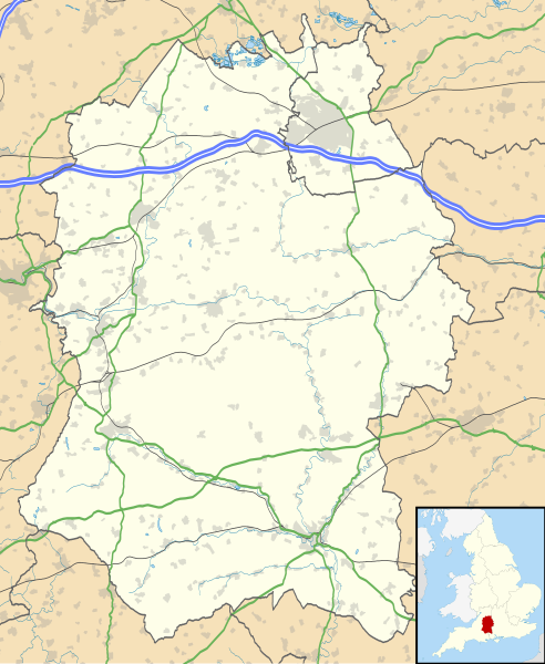
Map of Wiltshire, UK with the following information shown:
Equirectangular map projection on WGS 84 datum, with N/S stretched 160% Geographic limits:
|
| मिति | |
| स्रोत |
|
| लेखक | Nilfanion, created using Ordnance Survey data |
| अनुमति (यो फाइल पुनप्रयोग गर्न) |
यो फाइल क्रिएटिभ कमन्स एट्रिब्युसन-सेयर एलाइक ३.० अनपोर्टेड लाइसेन्स अनुसारको अनुमति प्राप्त छ। एट्रिब्युसन: Contains Ordnance Survey data © Crown copyright and database right
|
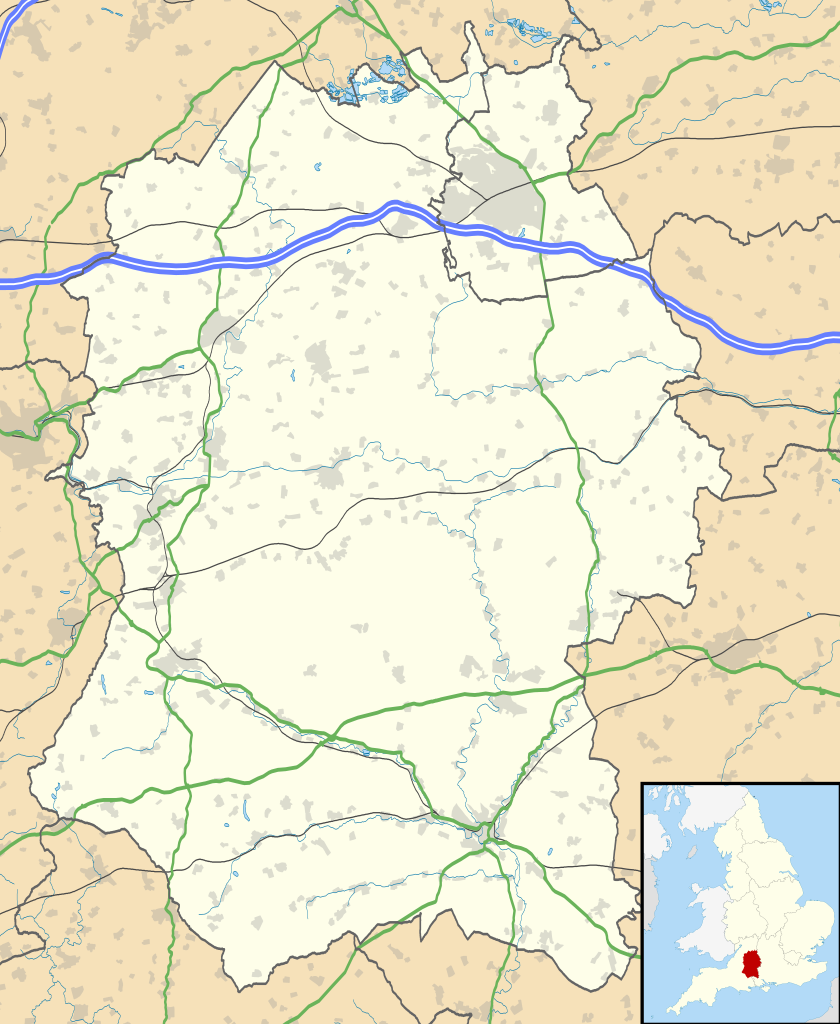
| अरु संस्करणहरू | File:Wiltshire UK district map (blank).svg - Blank map |
.svg)
फाइल इतिहास
मिति/समय मा क्लिक गरेर त्यससमयमा यो फाइल कस्तो थियो भनेर हेर्न सकिन्छ ।
| मिति/समय | छोटो चित्र | आकारहरू | प्रयोगकर्ता | टिप्पणी | |
|---|---|---|---|---|---|
| हालको | ०१:०४, २७ सेप्टेम्बर २०१० | | १,०३९×१,२६६ (१.७६ मेगाबाइटहरू) | Nilfanion | {{Information |Description=Map of Wiltshire, UK with the following information shown: *Administrative borders *Coastline, lakes and rivers *Roads and railways *Urban areas Equirectangular map projection on WGS 84 datum, with N/S stretched |
फाइल प्रयोग
यस फाइलमा निम्न पृष्ठ जोडिन्छ:
विश्वव्यापी फाइल प्रयोग
निम्न अन्य विकिहरूमा यस फाइलको प्रयोग:
- ar.wikipedia.org मा उपयोग
- bg.wikipedia.org मा उपयोग
- ceb.wikipedia.org मा उपयोग
- cy.wikipedia.org मा उपयोग
- da.wikipedia.org मा उपयोग
- en.wikipedia.org मा उपयोग
- Stonehenge
- Talk:Stonehenge
- Swindon
- Salisbury
- Salisbury Cathedral
- Talk:Isambard Kingdom Brunel
- Talk:Aldhelm
- Talk:Box Tunnel
- Talk:Swindon
- Malmesbury Abbey
- Amesbury
- Lacock Abbey
- Lacock
- Talk:River Avon, Bristol
- Avebury (village)
- Odstock
- Silbury Hill
- Trowbridge
- Talk:Trowbridge
- Old Sarum
- Tiddleywink
- Talk:Robert Hallam
- Mere, Wiltshire
- Castle Hill, Mere
- Talk:Great Western Railway
- Chippenham
- Talk:Michael Ancram
- Marlborough, Wiltshire
- Talk:New Forest
- Bradford-on-Avon
- Warminster
- Brandier
- Talk:Brandier
- Devizes
- Talk:Swindon Town F.C.
- Talk:M4 motorway
- MOD Lyneham
- Pewsey
- Barbury Castle
- Wroughton
- Porton Down
- Talk:George Herbert
- Tidworth
- Edington, Wiltshire
यस फाइलको विश्वव्यापी उपयोगको अधिक जानकारी हेर्नुहोस् ।