चित्र:Uttar Pradesh administrative divisions.svg

Size of this PNG preview of this SVG file: ६०० × ६०० पिक्सल. अरु संकल्पहरू: २४० × २४० पिक्सल • ४८० × ४८० पिक्सल • ७६८ × ७६८ पिक्सल • १,०२४ × १,०२४ पिक्सल • २,०४८ × २,०४८ पिक्सल • १,५०० × १,५०० पिक्सल।
मूल फाइल (SVG फाइल,साधारण १,५०० × १,५०० पिक्सेलहरु, फाइल आकार: १२१ किलोबाइटहरू)
| यो विकिमीडिया कमन्सको चित्र हो। त्यहाँ यसको विवरण पृष्ठबाट जानकारी तल देखाइएको छ। कमन्स स्वतन्त्र रूपमा इजाजतपत्र प्राप्त चित्र भण्डार हो। तपाईंले मद्दत गर्न सक्नुहुन्छ। |
सारांश
| वर्णन |
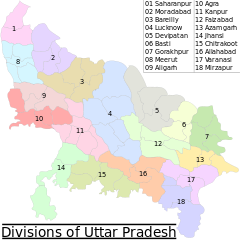
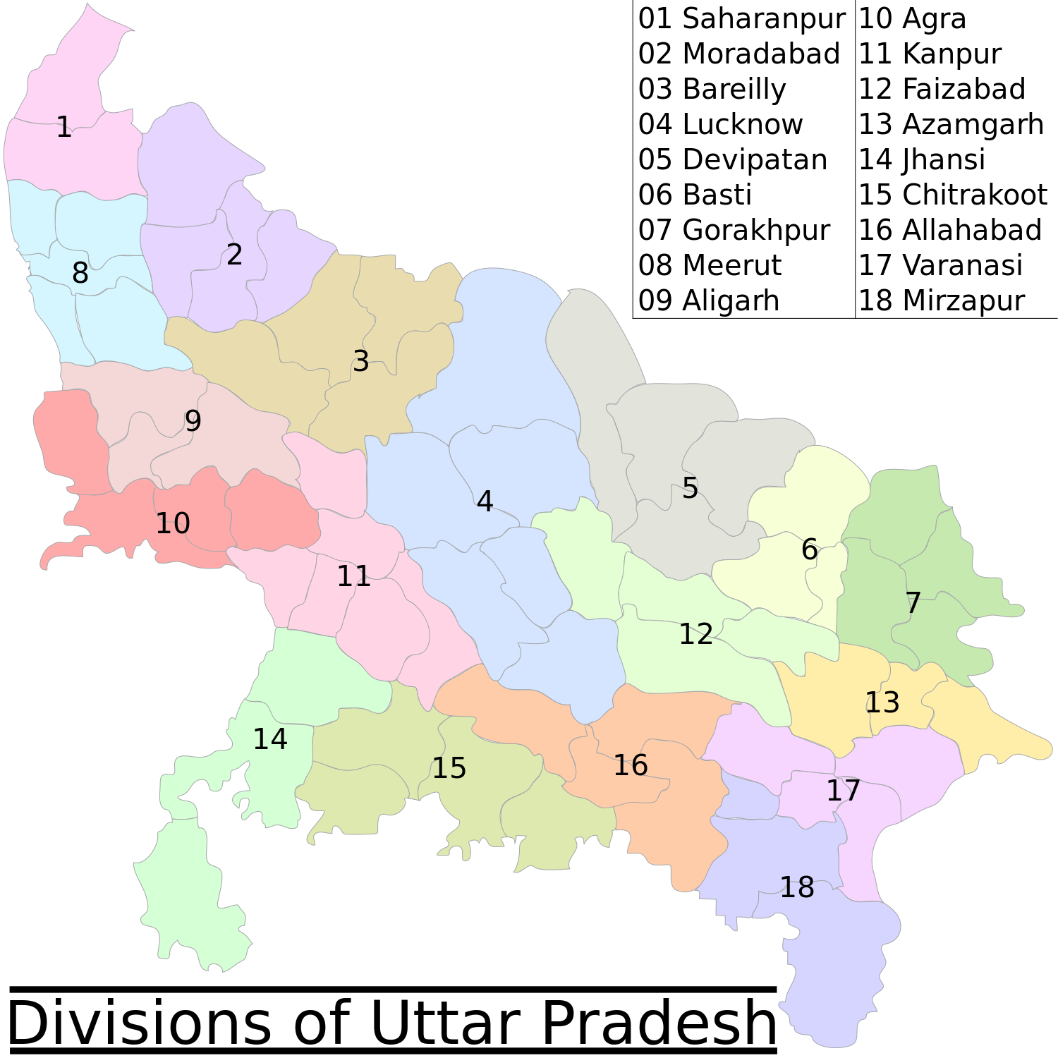
English: This map has been created by Faiz Haider, it is based on Map of Uttar Pradesh on National Portal of India. |
| मिति | ७ फेब्रुअरी २००९ (original upload date) |
| स्रोत | Transferred from en.wikipedia to Commons by Jeroen using CommonsHelper. |
| लेखक | Faizhaider at अङ्ग्रेजी विकिपीडिया |
| अरु संस्करणहरू |
[]
|


अनुज्ञा प्राप्त गर्दै
| This work has been released into the public domain by its author, Faizhaider at अङ्ग्रेजी विकिपीडिया. This applies worldwide. In some countries this may not be legally possible; if so: Faizhaider grants anyone the right to use this work for any purpose, without any conditions, unless such conditions are required by law. |
Original upload log
The original description page was here. All following user names refer to en.wikipedia.
- 2009-02-07 07:05 Faizhaider 1500×1500× (123417 bytes) This map has been created by [[User:Faizhaider|me]], it is based on [http://india.gov.in/maps/up.php Map of Uttar Pradesh on National Portal of India].
फाइल इतिहास
मिति/समय मा क्लिक गरेर त्यससमयमा यो फाइल कस्तो थियो भनेर हेर्न सकिन्छ ।
| मिति/समय | छोटो चित्र | आकारहरू | प्रयोगकर्ता | टिप्पणी | |
|---|---|---|---|---|---|
| हालको | ०४:००, ३१ जुलाई २००९ | | १,५००×१,५०० (१२१ किलोबाइटहरू) | File Upload Bot (Magnus Manske) | {{BotMoveToCommons|en.wikipedia|year={{subst:CURRENTYEAR}}|month={{subst:CURRENTMONTHNAME}}|day={{subst:CURRENTDAY}}}} {{Information |Description={{en|This map has been created by Faiz Haider, it is based on [http://india.gov.in/m |
फाइल प्रयोग
यस फाइलमा निम्न 2 पृष्ठहरू जोडिन्छन्:
विश्वव्यापी फाइल प्रयोग
निम्न अन्य विकिहरूमा यस फाइलको प्रयोग:
- as.wikipedia.org मा उपयोग
- bh.wikipedia.org मा उपयोग
- de.wikipedia.org मा उपयोग
- en.wikipedia.org मा उपयोग
- es.wikipedia.org मा उपयोग
- fr.wikipedia.org मा उपयोग
- ha.wikipedia.org मा उपयोग
- hr.wikipedia.org मा उपयोग
- it.wikipedia.org मा उपयोग
- ml.wikipedia.org मा उपयोग
- mr.wikipedia.org मा उपयोग
- nl.wikipedia.org मा उपयोग
- pnb.wikipedia.org मा उपयोग
- ru.wikipedia.org मा उपयोग
- sa.wikipedia.org मा उपयोग
- sd.wikipedia.org मा उपयोग
- sh.wikipedia.org मा उपयोग
- sr.wikipedia.org मा उपयोग
- ta.wikipedia.org मा उपयोग
- th.wikipedia.org मा उपयोग
- ur.wikipedia.org मा उपयोग
- zh.wikipedia.org मा उपयोग