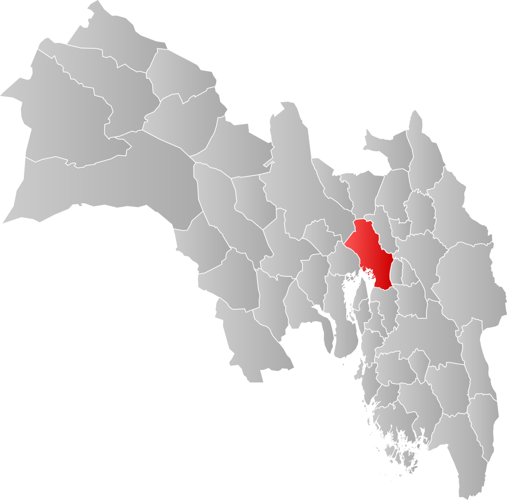
चित्र:NO 0301 Oslo.svg

Size of this PNG preview of this SVG file: ६०८ × ५९९ पिक्सल. अरु संकल्पहरू: २४३ × २४० पिक्सल • ४८७ × ४८० पिक्सल • ७७९ × ७६८ पिक्सल • १,०३९ × १,०२४ पिक्सल • २,०७७ × २,०४८ पिक्सल • ९९८ × ९८४ पिक्सल।
मूल फाइल (SVG फाइल,साधारण ९९८ × ९८४ पिक्सेलहरु, फाइल आकार: १३८ किलोबाइटहरू)
| यो विकिमीडिया कमन्सको चित्र हो। त्यहाँ यसको विवरण पृष्ठबाट जानकारी तल देखाइएको छ। कमन्स स्वतन्त्र रूपमा इजाजतपत्र प्राप्त चित्र भण्डार हो। तपाईंले मद्दत गर्न सक्नुहुन्छ। |
| वर्णन | |||
| मिति | |||
| स्रोत | मेरो आफ्नै कार्य | ||
| लेखक | Jon Harald Søby | ||
| अनुमति (यो फाइल पुनप्रयोग गर्न) |
|
||
| SVG genesis |
फाइल इतिहास
मिति/समय मा क्लिक गरेर त्यससमयमा यो फाइल कस्तो थियो भनेर हेर्न सकिन्छ ।
| मिति/समय | छोटो चित्र | आकारहरू | प्रयोगकर्ता | टिप्पणी | |
|---|---|---|---|---|---|
| हालको | ०९:१३, ४ फेब्रुअरी २०२० | | ९९८×९८४ (१३८ किलोबाइटहरू) | Jay1279 | update after county merger to show Oslo inside Viken County |
| ०२:२७, २२ जनवरी २००७ |  | ७४४×१,०५२ (६२ किलोबाइटहरू) | Jon Harald Søby | {{User:Jon Harald Søby/Kartlisens|Oslo|Akershus}} |
फाइल प्रयोग
यस फाइलमा निम्न पृष्ठ जोडिन्छ:
विश्वव्यापी फाइल प्रयोग
निम्न अन्य विकिहरूमा यस फाइलको प्रयोग:
- af.wikipedia.org मा उपयोग
- ar.wikipedia.org मा उपयोग
- bpy.wikipedia.org मा उपयोग
- bs.wikipedia.org मा उपयोग
- ca.wikipedia.org मा उपयोग
- ceb.wikipedia.org मा उपयोग
- da.wikipedia.org मा उपयोग
- de.wikipedia.org मा उपयोग
- en.wikipedia.org मा उपयोग
- es.wikipedia.org मा उपयोग
- fa.wikipedia.org मा उपयोग
- fo.wikipedia.org मा उपयोग
- fr.wikipedia.org मा उपयोग
- gd.wikipedia.org मा उपयोग
- hu.wikipedia.org मा उपयोग
- hy.wikipedia.org मा उपयोग
- id.wikipedia.org मा उपयोग
- incubator.wikimedia.org मा उपयोग
- it.wikipedia.org मा उपयोग
- ja.wikipedia.org मा उपयोग
- lij.wikipedia.org मा उपयोग
- nds.wikipedia.org मा उपयोग
- nl.wikipedia.org मा उपयोग
- nn.wikipedia.org मा उपयोग
- nov.wikipedia.org मा उपयोग
- no.wikipedia.org मा उपयोग
- oc.wikipedia.org मा उपयोग
- pcd.wikipedia.org मा उपयोग
- pnb.wikipedia.org मा उपयोग
- pt.wikipedia.org मा उपयोग
- ro.wikipedia.org मा उपयोग
- ru.wikipedia.org मा उपयोग
- smn.wikipedia.org मा उपयोग
- sq.wikipedia.org मा उपयोग
- th.wikipedia.org मा उपयोग
- ts.wikipedia.org मा उपयोग
यस फाइलको विश्वव्यापी उपयोगको अधिक जानकारी हेर्नुहोस् ।