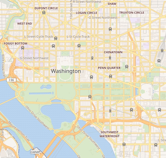
चित्र:Location map Washington, D.C. central.png
Location_map_Washington,_D.C._central.png (६२७ × ५९९ पिक्सेलहरू, फाइल आकार: २१८ किलोबाइटहरू, MIME प्रकार: image/png)
फाइल इतिहास
मिति/समय मा क्लिक गरेर त्यससमयमा यो फाइल कस्तो थियो भनेर हेर्न सकिन्छ ।
| मिति/समय | छोटो चित्र | आकारहरू | प्रयोगकर्ता | टिप्पणी | |
|---|---|---|---|---|---|
| हालको | ०२:२६, ९ सेप्टेम्बर २०१८ |  | ६२७×५९९ (२१८ किलोबाइटहरू) | LinkTiger | Get same image from Wikimedia's map server: https://maps.wikimedia.org/img/osm-intl,14,38.893,-77.03075,627x599.png It's still bad, but maybe not quite as bad? |
| १९:०८, २१ अप्रिल २०१६ |  | ७९६×७६१ (७१३ किलोबाइटहरू) | LinkTiger | Use latest OpenStreetMap style, which includes GSoC road visibility updates | |
| १४:१८, ६ नोभेम्बर २०१३ |  | ७९६×७६१ (६६२ किलोबाइटहरू) | Ebywan | Update to current OpenStreetMap data | |
| ००:१९, २७ मे २०१० |  | ७९६×७६१ (५७९ किलोबाइटहरू) | Dr. Blofeld~commonswiki | {{Information |Description={{en|1=j}} |Source=j |Author=j |Date=j |Permission= |other_versions= }} |
फाइल प्रयोग
यस फाइलमा निम्न 3 पृष्ठहरू जोडिन्छन्:
विश्वव्यापी फाइल प्रयोग
निम्न अन्य विकिहरूमा यस फाइलको प्रयोग:
- ar.wikipedia.org मा उपयोग
- bh.wikipedia.org मा उपयोग
- bn.wikipedia.org मा उपयोग
- ceb.wikipedia.org मा उपयोग
- ce.wikipedia.org मा उपयोग
- en.wikipedia.org मा उपयोग
- United States Capitol
- Vietnam Veterans Memorial
- White House
- National Academies of Sciences, Engineering, and Medicine
- Lincoln Memorial
- Washington Monument
- National Air and Space Museum
- Hart Senate Office Building
- Jefferson Memorial
- John F. Kennedy Center for the Performing Arts
- Franklin Delano Roosevelt Memorial
- Ford's Theatre
- Korean War Veterans Memorial
- World War II Memorial
- United States Holocaust Memorial Museum
- Watergate complex
- Ronald Reagan Building and International Trade Center
- George Mason Memorial
- Russell Senate Office Building
- Cannon House Office Building
- Corcoran Gallery of Art
- Arts and Industries Building
- Willard InterContinental Washington
- International Spy Museum
- Mayflower Hotel
- National Postal Museum
- National Museum of Women in the Arts
- J. Edgar Hoover Building
- Cathedral of St. Matthew the Apostle (Washington, D.C.)
- President's Park
- Dirksen Senate Office Building
- District of Columbia War Memorial
- Washington Circle
- S. Dillon Ripley Center
- Eisenhower Executive Office Building
- National Museum of African Art
- St. John's Episcopal Church, Lafayette Square
- United States Supreme Court Building
यस फाइलको विश्वव्यापी उपयोगको अधिक जानकारी हेर्नुहोस् ।

