चित्र:Chamoli district.svg

Size of this PNG preview of this SVG file: ६६६ × ५९९ पिक्सल. अरु संकल्पहरू: २६७ × २४० पिक्सल • ५३३ × ४८० पिक्सल • ८५३ × ७६८ पिक्सल • १,१३८ × १,०२४ पिक्सल • २,२७६ × २,०४८ पिक्सल • १,२५० × १,१२५ पिक्सल।
मूल फाइल (SVG फाइल,साधारण १,२५० × १,१२५ पिक्सेलहरु, फाइल आकार: १३७ किलोबाइटहरू)
| यो विकिमीडिया कमन्सको चित्र हो। त्यहाँ यसको विवरण पृष्ठबाट जानकारी तल देखाइएको छ। कमन्स स्वतन्त्र रूपमा इजाजतपत्र प्राप्त चित्र भण्डार हो। तपाईंले मद्दत गर्न सक्नुहुन्छ। |
सारांश
| वर्णन |
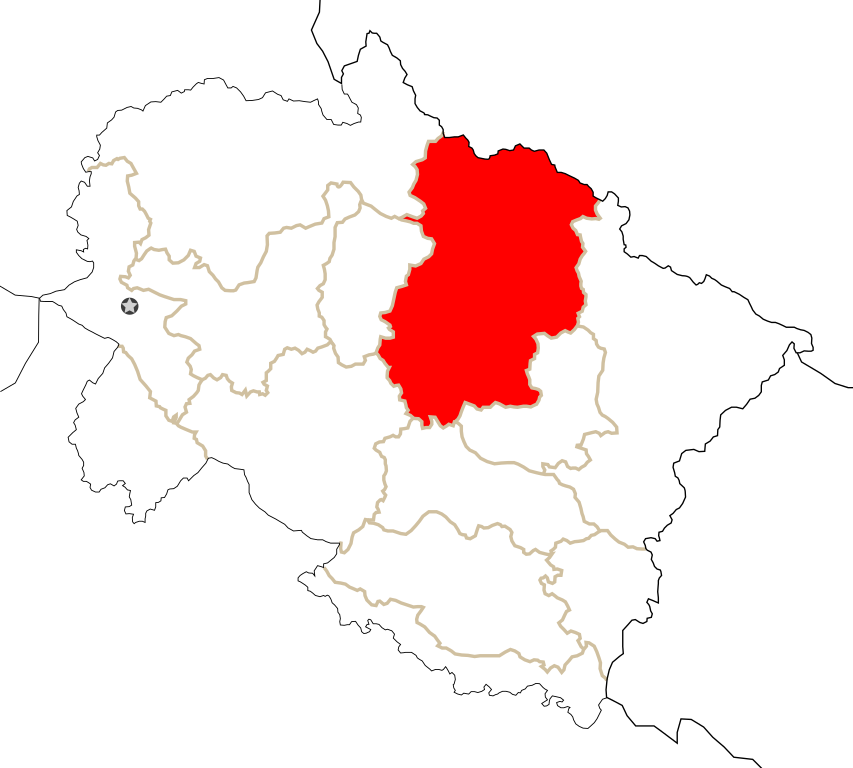
English: Chamoli district in the state of Uttarakhand, India. Map is based on UttarakhandDistricts_numbered.svg |
| मिति | |
| स्रोत | मेरो आफ्नै कार्य |
| लेखक | GDibyendu |
अनुज्ञा प्राप्त गर्दै
| I, the copyright holder of this work, release this work into the public domain. This applies worldwide. In some countries this may not be legally possible; if so: I grant anyone the right to use this work for any purpose, without any conditions, unless such conditions are required by law. |
फाइल इतिहास
मिति/समय मा क्लिक गरेर त्यससमयमा यो फाइल कस्तो थियो भनेर हेर्न सकिन्छ ।
| मिति/समय | छोटो चित्र | आकारहरू | प्रयोगकर्ता | टिप्पणी | |
|---|---|---|---|---|---|
| हालको | ००:२५, १७ जनवरी २००९ | | १,२५०×१,१२५ (१३७ किलोबाइटहरू) | GDibyendu | {{Information |Description={{en|1=Chamoli district in the state of Uttarakhand, India. Map is based on UttarakhandDistricts_numbered.svg}} |Source=Own work by uploader |Author=GDibyendu |Date=2009-01-17 |Permission= |other_versions= }} |
फाइल प्रयोग
यो फाइलसँग कुनै पनि पृष्ठ जोडिएको छैन।
विश्वव्यापी फाइल प्रयोग
निम्न अन्य विकिहरूमा यस फाइलको प्रयोग:
- sat.wikipedia.org मा उपयोग